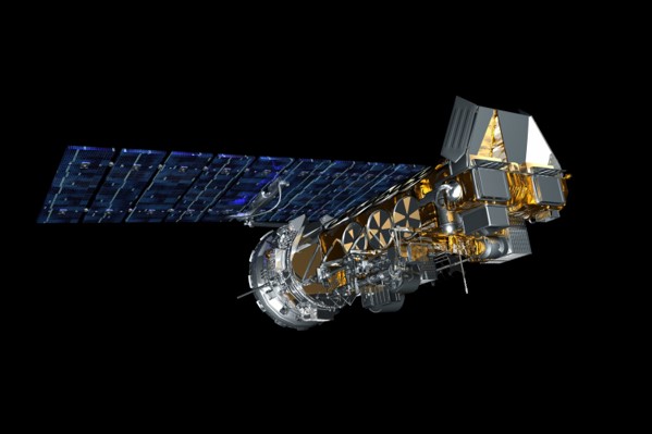
The NOAA LEO satellites ceased operation in August 2025. Below is a description of the project that was in place while those satellites were still in operation.
The NOAA low-earth orbiting (LEO) weather satellites continually transmit an APT-based signal of the ground below showing cloud cover, precipitation and other weather features. Differing from the GOES satellites these LEO satellites show a much smaller footprint of the area over which they’re flying, and the quality of their transmission is dependent on their distance from the receiving station. NOAA satellites broadcast in the 137mhz frequency range but can be received with amateur’s 2 meter antennas as is done at the GCARC clubhouse station.

The receiving program runs on a Raspberry Pi and uses an RTL-sdr receiver. The software runs predictions of each upcoming orbit of each satellite being followed and will schedule a receiving session for when the satellite pass starts. The process uses the RTL-FM program to receive the analog signal and record it to a .wav file that is then processed by the WxToImg program to create the images.
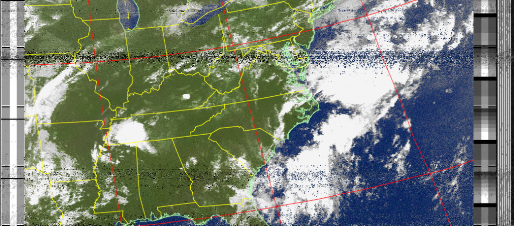
Below is a typical image from NOAA 18. Note that it’s centered over New Jersey meaning that the satellite was traveling almost overhead when sending this image, which is why it’s so clear.

